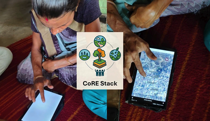
Can data-driven planning lead to a participatory and accountable approach to natural resource governance?
Hear as Mr. Ajmal, a lead steward from Jharkhand shares his experience of using Commons Connect
August 2025
As a block-level watershed planning steward in Masalia block of Jharkhand, Ajmal had one clear goal: spend less time on tedious desk work and more time in the field engaging meaningfully with communities. Before Commons Connect, this was difficult.
Before Commons Connect
Ajmal recalled that earlier, preparing a DPR was a long, multi-step process heavily dependent on manual effort. To begin, he had to locate and download different thematic maps – drainage lines, water bodies, land use patterns, administrative boundaries – from separate government portals. Many times, required data layers were incomplete or unavailable, which meant creating them from scratch through digitization or manual sketching.
Next came initial resource mapping field visits. These were not for fine-tuning interventions but for simply identifying where resources were located like existing water structures, degraded areas, and potential sites for development. Ajmal and his team recorded GPS points, made rough sketches, and compiled field notes, all of which had to be manually aligned with the maps later.
Finally, after community consultations and compilation of all demands, the information had to be manually filled in the DPR template back in the office. The process was prone to human error and often required multiple rounds of verification, including repeat field visits to fill gaps or correct mismatched geo-coordinates.
The result was a weeks-long turnaround for a single DPR, with the majority of the effort consumed by preparatory tasks rather than actual participatory planning.
After Commons Connect
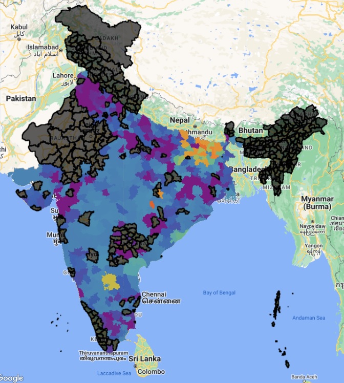
The introduction of Commons Connect radically restructured Ajmal’s workflow. The platform comes with integrated, ready-to-use spatial datasets like drainage networks, water bodies, land use, soil types, slope, and administrative boundaries, all geo-referenced and updated to recent dates. This eliminated the need to search multiple portals, download files, and manually validate their accuracy.
During transect walks and PRA exercises, the tool allows Ajmal to geo-tag resources in real time, attach field photographs, and record relevant notes directly into the system. By the end of the walk, the data is already structured, mapped, and ready for analysis, removing the need for any manual compilation back at the office.
With the foundational data already in place, Commons Connect enables Ajmal to:
- Select his target geography of sub-district, watershed, village directly on the platform’s map interface.
- Run automated spatial analysis that instantly overlays relevant layers to highlight priority intervention sites such as check dams, farm ponds, and contour bunds.
- Generate a complete DPR automatically populated with accurate maps, GPS coordinates, and summary statistics in the approved template format.
Field visits still occur, but now their purpose is validation and dialogue to confirm the tool’s findings, understand local needs, and build consensus on interventions, rather than gathering base data.
Impact
By removing the need for multiple steps such as sourcing, digitizing, and manually compiling resource data, Commons Connect has reduced the DPR preparation time from several weeks to a few days. The tool has also helped improve accuracy, maintain a consistent format across projects, and allowed Ajmal to spend more time with communities to refine plans and ensure they match local needs.
In Ajmal’s words:
“With Commons Connect, the foundation for a DPR is ready much faster, giving me more time to focus on planning together with the community. He also shared that Mr. Shyamder Marandi, Gram Pradhan of Beryiabad village, can now access the DPR and view the water and drainage layers. This has made the process transparent among the community, the Gram Pradhan, and the stewards, something that was not possible before Commons Connect.
Equitable natural resource management made easy
Mr. Dileshwar and Ms. Sashmita share how Commons Connect facilitates reflections on resource equity during community consultations
August 2025
Before Commons Connect, steward-led Natural Resource Management (NRM) planning in villages like Baragotha and Kholadangiani in Anugul, Odisha often meant juggling fragmented paper records, relying on personal memory, and spending days manually compiling information. Much of the process was shaped by assumptions rather than concrete evidence, which often left gaps in community trust and confidence in the final plans.
For Dileshwar Pradhan, Steward of Baragotha village, Angul block, this meant a heavy workload before community meetings—visiting households, jotting down details, cross-checking with older records, and still facing questions he couldn’t fully answer.
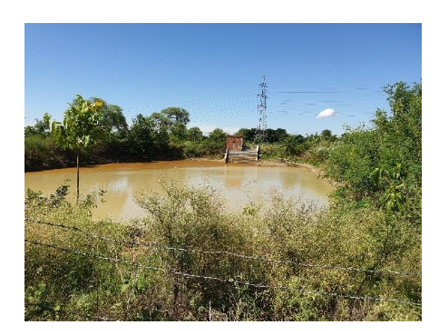
With Commons Connect, Dileshwar could instantly access geo-referenced maps, past years’ data on water resources, cropping patterns, and seasonal trends. When villagers asked, “How much water did we have in the dry months three years ago?” or “Why is this well drying earlier than before?”, he could project the data for everyone to see. This shift from verbal explanations to visual, verifiable evidence changed the tone of the meetings.
Importantly, the platform made it clear that building a plan was not just a one-time exercise, but an ongoing process of discussion and negotiation. Because the evidence was visible to all, community members began challenging assumptions, debating options, and contributing their own observations. The steward’s job shifted from simply compiling a report to facilitating deeper dialogue—making the plan by the community, not just for the community.
By feeding community needs and resource data into the platform, the Detailed Project Report (DPR) is now generated automatically, complete with maps, seasonal timelines, and recommendations. This freed Dileshwar to focus on mobilizing participation rather than simply data collection.
In Kholadangiani village, Steward Sashmita Nayak saw another layer of change. Commons Connect’s datasets revealed stark differences in resource availability between caste groups and habitations. This was not something easily visible before – the platform made equity mapping unavoidable. Once such disparities were visible on the map, they could not be ignored. Sashmita used this visual evidence to start sensitive but necessary conversations on fairness and inclusion.
Because the data was shared openly, the discussion moved from “who’s to blame” to “how do we fix this together?” Collective recognition of inequities allowed the community to develop concrete solutions like prioritizing water harvesting structures in underserved hamlets and to present these as unified recommendations to the Sarpanch. The Sarpanch valued the DPR’s precision and its integration with Gram Panchayat Development Plan (GPDP) priorities.
For Sashmita, this recognition from both the community and local governance strengthened her position as a trusted bridge between people and policy. She was no longer just facilitating planning, she was shaping decisions.
The Change for Stewards
For both Dileshwar and Sashmita, Commons Connect replaced weeks of manual effort with a few focused days of collaborative work. But more than efficiency, it fundamentally changed the nature of planning itself:
- It made it necessary to hold deeper, evidence-based discussions rather than treat planning as a mechanical checklist.
- It made equity issues visible and therefore part of the conversation—allowing them to be addressed in a transparent, collective manner.
The result: more inclusive plans; elevated community trust; and stewards empowered not just as facilitators, but as informed, credible advocates for their villages.
From technical to experiential, Mr. Sanjay shares how the perspective towards building NRM proposals changed with Commons Connect use
August 2025
In Ghoga Block, Gujarat, water scarcity has long been one of the biggest challenges facing rural communities. Seasonal droughts, erratic rainfall, and growing demand from agriculture have stretched groundwater reserves to critical limits.
To fix the situation, preparing Water Security Plans (blueprints for managing and protecting a village’s water resources) was a slow, costly, and highly technical task. Sanjay Rathod, a local steward, remembers the traditional way vividly. To prepare a single plan, he had to engage external hydrology experts, organize multiple field visits, and commission manual surveys of wells, ponds, boreholes, and drainage lines. The data had to be laboriously compiled into spreadsheets, and even then, it lacked clarity for most villagers. “We could spend weeks just to get the baseline situation on paper,” Sanjay recalls. “By the time the plan was ready, conditions on the ground might already have changed in some situations”
With the introduction of Commons Connect, the process changed. Using the tool, Sanjay could:
- Digitally map all water sources—capturing their location, type, capacity, and seasonal availability
- See multi-year rainfall trends and groundwater level data to identify stress zones.
- Compare water demand from agriculture, livestock, and households with current availability.
- Integrate community observations about changing water patterns.
Once this data is uploaded, the tool automatically generates a comprehensive plan with demands planned for water security intervention. There was no need to hire an external hydrology team; the app’s tools provided the same level of detail, backed by reliable datasets. For Sanjay, this meant huge cost savings that could now be redirected toward on-ground solutions rather than preliminary studies.
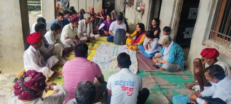
But the real change was in the planning culture itself. In the past, plans were prepared in technical language, often understood only by experts and government officers. Now, Sanjay could project the Commons Connect maps during Gram Sabha meetings, showing exactly which waterbodies were drying earlier each year, where recharge was most needed, and which hamlets faced the highest seasonal stress.
This visual, transparent approach encouraged villagers to debate priorities openly. For example, one meeting revealed that the main check dam was being silted up by runoff from an upstream hamlet, something that had never been discussed before because no one had visualized the catchment flow. Another meeting led to the unanimous decision to prioritize recharge pits in hamlets that had historically been overlooked.
“In the past, the plan was something technical people gave to us,” Sanjay says. “Now it’s something we create together. And because everyone can see the evidence, there’s less conflict and more unity in acting on it.”
The Water Security Plans are now not just documents, they are living strategies, updated regularly with new data and community feedback. Sanjay’s role has shifted from data collector to strategic facilitator, helping his community not only understand its water resources but take informed, collective action to secure them for the future.
Same role but a shift in identity, self-confidence, and community trust
Mr.Alok shares his experience of growing as a landscape steward – as a data-driven problem solver and community mobilizer
August 2025
In Katholia village of Basti district, Alok has proved that with a strong will and the right direction, even the biggest changes are possible. This journey of change began when he connected with Gram Vaani, a powerful platform that not only linked him with his community but also taught him innovative ways to address local problems and share accurate information. His main goal was clear: to amplify the voices of those living on the margins of society.
Alok recalls that a lack of awareness and the limitations of traditional methods meant that serious environmental issues, especially the falling groundwater levels, received little attention. While such matters were occasionally discussed in community meetings, the conversations rarely led to action. The reason was simple: people couldn’t fully grasp the seriousness of the situation. Oral discussions lacked concrete data and visual evidence, making it hard for people to connect the issues to their own lives. As a result, vital initiatives were often delayed.
According to Alok, another major challenge was the lack of trust between government officials and the community. Villagers often struggled to communicate their problems effectively, while officials had no reliable, verified data to assess the urgency of these concerns. This gap meant that many important projects were overlooked, and the spirit of collaboration remained weak.
Joining the joint campaigns of Gram Vaani and the CoRE Stack, Alok decided to bridge these two gaps of a lack of awareness and of trust. He began using Commons Connect, a powerful tool that allowed him to present real-time local data in community meetings. Through the app, he could show groundwater levels, water availability, photographs, and detailed reports making the problems visible and relatable. This approach not only raised awareness but also motivated people to actively participate in finding solutions.
Alok organized community meetings in three villages using Commons Connect to identify water-related needs. He then prepared detailed reports and shared them with the village head, panchayat secretary, and block development officer (BDO). Regular follow-ups built officials’ confidence that the community’s demands were fact-based. Seeing the verified data and progress reports on the app, officials began trusting the process and now even request Alok to show updated data for their records.
Commons Connect not only gave Alok a new identity but also established him as a trusted bridge between the community and the administration. His efforts have sped up developmental works under MGNREGA, including the planning of new projects and the repair of neglected ponds and canals because now all essential information is just a click away.
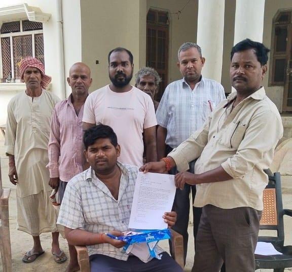
Submission of the demand letter to Pradhan, Narayananpur Panchayat.