We launched the CoRE stack innovation challenge on Nov 22, 2025, least expecting the tremendous participation we saw from students, ecologists, and CSO partners in joining hands around open-source development and research.
We are thrilled to announce three PoC contributions that are being provided follow-on support from FOSS United to enhance and build them out into full-fledged products. A set of mentors will also engage actively and guide the contributions to ensure technical correctness and rigour.
- Agricultural intelligence dashboard demonstrated for the Nashik district, to study patterns of cropping intensification and relate them to commodity prices and mandi locations. As you can guess, this was by an economist! Meet Sanket Gharat.
- Check out the live demo
- Github repo of the dashboard
- Video recording
- Next steps: Generalize for near-automation of generating similar dashboards for any district.
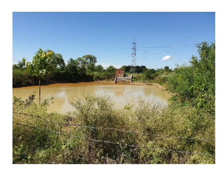
- Full listing of the tanks in Anekal and layering biodiversity data pulled from the citizen science platforms, eBird and iNaturalist. The idea was proposed by Kaustubh Rau who has been maintaining the Tanks of Anekal website, and taken up by Anoop Asranna.
- Check out the demo
- Code and documentation with several steps of data cleaning
- Video recording
- Next steps: Generalize to enhance the waterbody dashboard on the CoRE stack to also show biodiversity information alongside climate, land-use, and surface water availability changes, and integrate with the Tanks of Anekal website.
- Fields app, which lets users define various geospatial layers of interest, makes the layers available offline, and lets people validate these layers. To be enhanced into supporting communities to build PBRs. Meet Trishal Kumar, the creator of Fields!
- Report with screenshots
- Github repo to build your own APK for your layers and areas of interest
- Video recording
- Next steps: Build Fields into a full fledged product that allows users to contribute groundtruth labels, export the datasets, and draw insights from the data.
The rough structure that has emerged for the CoRE stack innovation challenge going forward is to have similar PoC submissions on a rolling basis and advance a subset of them for generalized stack integrations and mentorship. Likewise, people can also pick up several open issues on the CoRE stack github page, actively being supported by C4GT to draw contributions.
What also emerged is new use-cases for which geospatial tools are needed, and many of these are still open. So if you are eager to contribute then please pick up any of these:
- INREM’s proposal on building water quality maps [open]
- Kaustubh’s (APU) proposal on dashboards to study the ecology of lakes [assigned]
- Madhura’s (WCT) proposal on mapping command areas of reservoirs [open]
- Arghyam’s proposal on building a greywater management tool [open]
- Tracker for protected areas in collaboration with IITB and Kalpavriksh [assigned]
Join us in congratulating and applauding the efforts of the contributors! Thanks to FOSS United and C4GT for supporting this strongly! And ecosystem partners for proposing many exciting ideas!
The innovation challenge is continuing on a rolling basis and we are looking forward to announcing more contributions soon. Join us for the weekly dev calls on Fridays at 3pm to discuss more ideas and share your insights. To stay connected, join the Googlegroup and Discord channel.