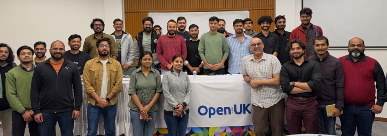
TESSERA and CoRE stack hackathon on Geospatial AI
The prolific Anil Madhavapeddy from the University of Cambridge, behind many key outputs including OCaml, Docker, Xen, among others, ran…
The prolific Anil Madhavapeddy from the University of Cambridge, behind many key outputs including OCaml, Docker, Xen, among others, ran…
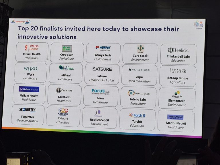
We are delighted that the CoRE stack was selected among the top-20 finalists in the AI for ALL challenge organized…

Deeply reflective blog by Anuradha Ganapathy from her field visits to observe Commons Connect deployments with partners Foundation For Ecological…
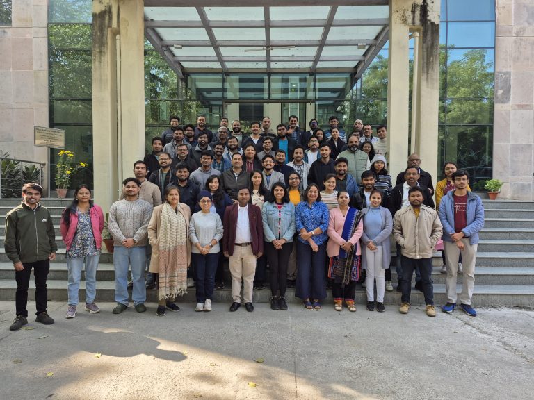
The second CoRE stack landscape solvability workshop held at IIT Delhi from Dec 15-17 brought together 80+ people from over…
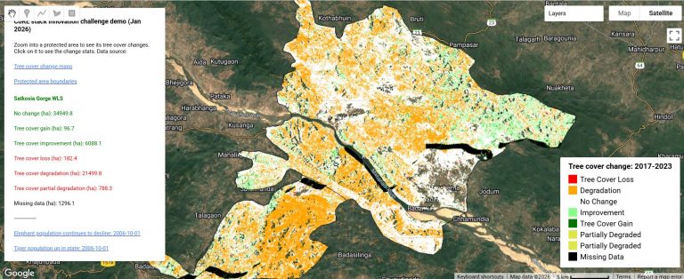
To accompany the CoRE stack innovation challenge, we have developed an app on Google Earth Engine which combines news articles on protected…
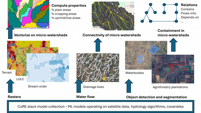
To accompany the CoRE stack innovation challenge, we have enhanced the starter-kit with an example of combining data from the…
Climate scientists recognized a while back about the importance of coming up with a standardized Earth System grid. Today most…

Can data-driven planning lead to a participatory and accountable approach to natural resource governance? Reflections from Ajmal, SUPPORT (Jharkhand) Hear…
Participatory planning procedures are a cornerstone of rural development initiatives, particularly those related to natural resource management. By centering voices…

To accompany the innovation challenge (main doc with example problems), we have built a starter-kit that shows how you can…