Update, Nov 19, 2025: As a follow-up from the workshop, we have put together this living database of useful tools for restoration practitioners, and ideas for new use-cases suggested by the participants.
—————-
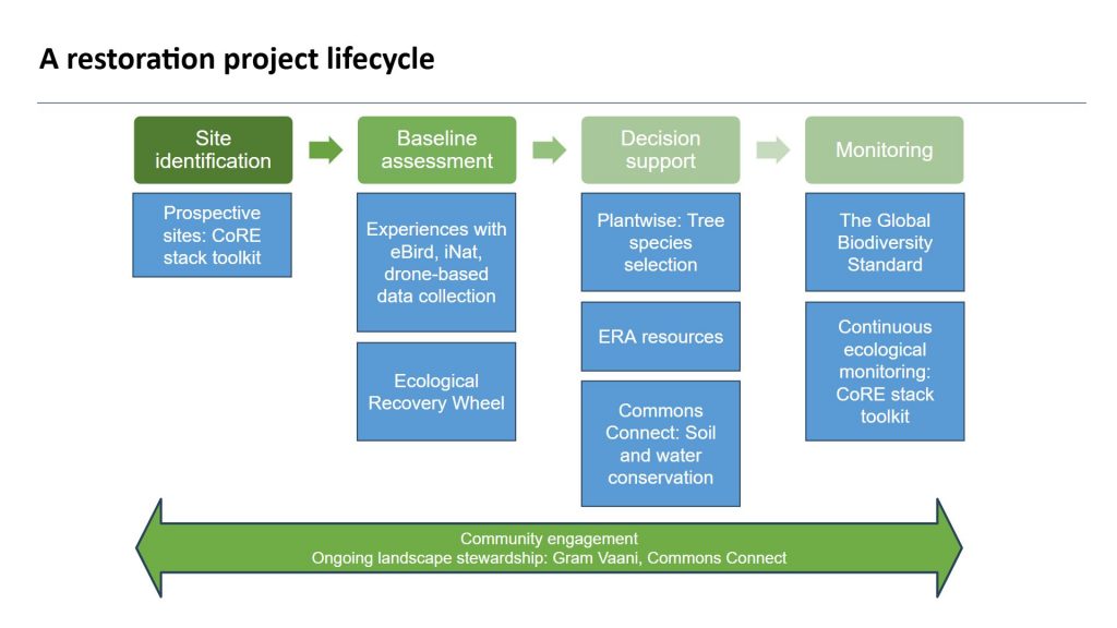
A few us organized a workshop at the Restoring Natural Ecologies conference in Guwahati last week. We organized the restoration process in stages of site identification -> baseline assessment -> decision support -> monitoring -> community engagement, and discussed several pieces of ongoing work and experiences with digital tools at each stage.
- Site identification: Given a restoration site, find more locations similar to it that can be restored [link].
- Baseline assessment: Key indicators to track for biodiversity monitoring [link]. Use of tools like eBird and iNaturalist to track observations and build them into indicators.
- Decision support: Recommend tree species to plant at a new restoration site [link]. Resources to determine reference sites for a location [link]. Tools to guide for soil and water conservation structures at restoration sites [link].
- Monitoring: Use of satellite data [link], drone imagery, and bioacoustics sensors [link] to monitor different indicators at different spatial and temporal fedelities.
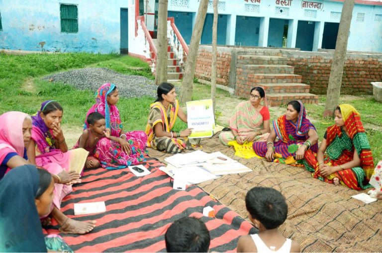
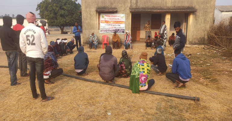
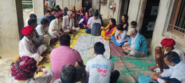
- Community engagement: Engage communities on ongoing maintenance and sustenance of restoration sites [link].
Many excellent new use-cases also emerged in the discussions, a few of which are outlined below.
Title: Exploring digital tools for restoration
Organizers: Rohit Naniwadekar (NCF), Kiran Baldwin (The Global Biodiversity Standard), Madhura Niphadkar (WCT), Aaditeshwar Seth (CoRE stack)
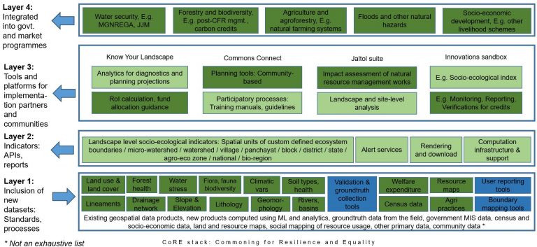
Abstract: With rapid advances in environmental instrumentation through satellites, drones, bioacoustic recorders, micro-climate sensing, and of course on-ground observations and citizen science, many digital tools and methods have been developed to assist restoration practitioners and researchers in planning and monitoring restoration sites, biodiversity, and other indicators. We believe this is just the beginning and many more use-cases are waiting to be unraveled and built. The workshop aims to collect feedback and experience sharing from the participants on datasets and tools they have used, present a few new innovations and ideas under development, and potentially come up with a joint whitepaper on the requirements and gaps that digital tools can address. The workshop co-organizers have been involved with initiatives like Plantwise India which uses species distribution modelling to recommend suitable trees species at a given location, the CoRE stack which brings together many rich geospatial datasets to build baseline and monitoring indicators to track changes over time, The Global Biodiversity Standard which has built protocols for biodiversity tracking including through the use of remote sensing, several ongoing experiments with the use of bioacoustics sensors and drone imagery for continuous ecological monitoring as part of the CoRE stack restoration toolkit, and building upon work on ecoregion mapping by the ERA Knowledge and Resource desk to provide context to ground restoration planning. Following the lightning talks on these tools, and a Q&A round, we will break into groups to get into deeper discussions to collate inputs for a co-created whitepaper.
New use-cases that emerged:
- Build 3D point clouds using RGB drones only, through photogrammetry methods.
- Identify very old trees and track their canopies over time for damage assessment.
- Use bioacoustics sensors to compare restoration sites with reference sites.
- Track reference sites so re-calibrate restoration potential of new sites conditioned upon the changing climate.
- While recommending tree species to plant, also determine how many of which species to plant, and how to mix them up together in different forest stands.
- Gamify data collection to make citizen science initiatives more appealing, so that people begin to notice things in their surroundings they otherwise would ignore.
- Can old photographs of restoration sites be analyzed to build indicators on foliage density changes over time.
- In drone imagery, given a specific tree, spot more trees like it. Try doing it during a live flight so that the console can highlight these trees and the pilot can navigate the drone to these locations.
- Build a programmable setup to use drone imagery outputs for biomass estimation, with an ecologist being able to set parameters and configurations for a given site.
- Track animals using thermal sensors mounted on drones.
- Can bioacoustics also help with early warning systems for zoonotic disease outbreaks?
Please drop an email to contact@core-stack.org if you want to suggest more ideas, help build out these use-cases, or point to other useful tools!