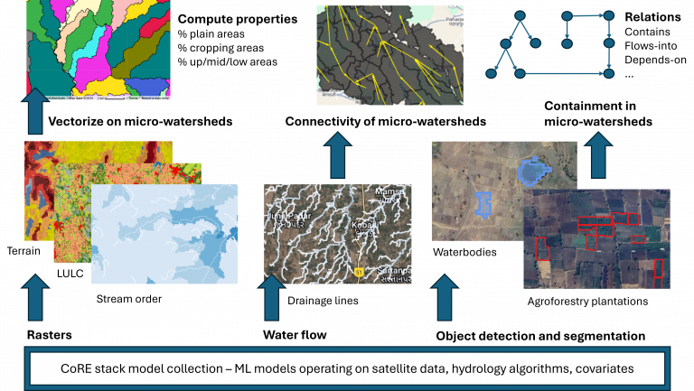
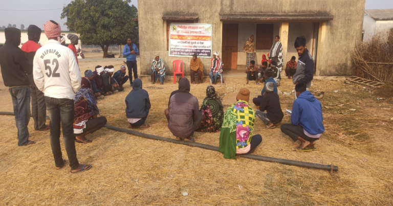
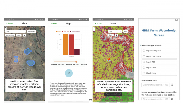
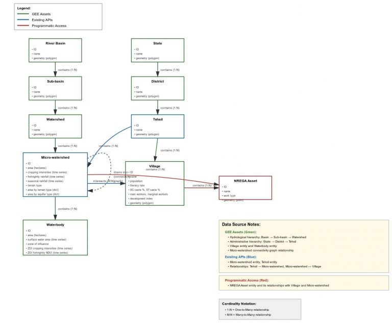
Over the last several months, we have added a number of new geospatial layers to the CoRE stack. In addition to layers related to hydrological boundaries, key water balance variables, drought incidence, LULC, terrain, and site assessment for groundwater recharge which we had outlined in version-1 of the manual, we have now added in version-2 of the manual tree cover monitoring layers, detection of farm ponds and farm boundaries, equity in access to NREGA funds, a typology of panchayats based on caste constitution and location-wise segregation, and several surface water hydrological variables to guide water body planning like catchment size, up-land/mid-land/low-land identification, and runoff accumulation.
Version-2 of the technical manual
Version-1 of the technical manual
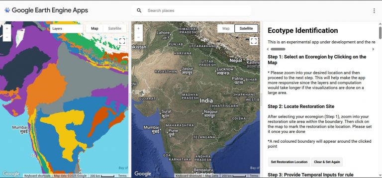
We are in the process of incorporating these layers and associated logics into the Know Your Landscape and Commons Connect tools, through which these layers will be easily accessible for download, or to pull into applications like QGIS, or to just browse on the web and app frontends. Do ask us for a demo.
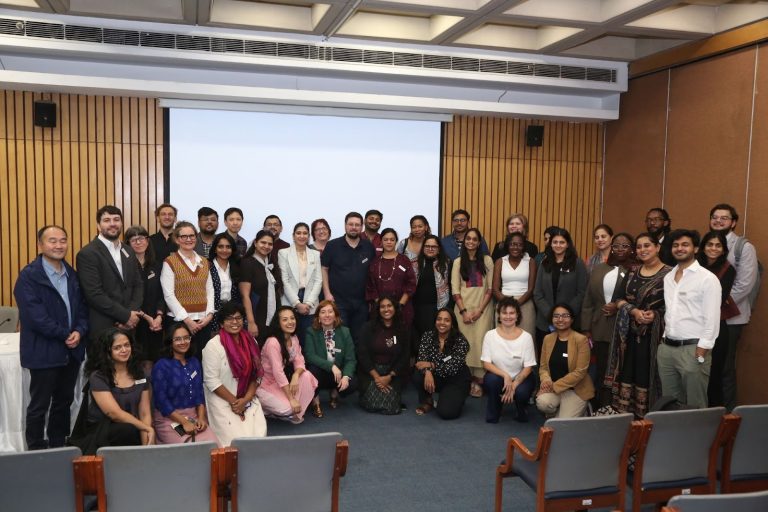
The development of the CoRE stack is proceeding in a very interesting manner, with researchers learning real ground needs from communities and translating them into research problems, that are solved as part of applied research projects, followed by engineers and designers who use the research outputs and put them into products that are deployed for communities at scale. We are trying hard to perfect a field-to-lab-to-field process which can potentially be replicated with more researchers and developers.