We are excited to announce the CoRE Stack Tower services. Supported by Tower Research Capital, this is a tower of 8 GPU nodes to provide free compute services for geospatial datasets and tools. Our motivation stems from the transformation we are seeing around us with AI. The pace at which new datasets and pipelines are being built is astonishing. But how will these be maintained, where will they be hosted for computation, and how can datasets be attributed to these source repositories, is where the challenge lies. The Tower services is an effort to provide a home for these innovations and we welcome everyone to join us in evolving the infrastructure.
We are doing a staggered launch of three services to start with, deployed as docker containers on the cluster.
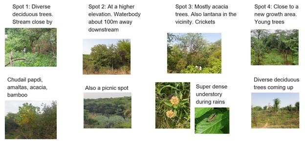
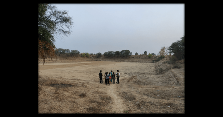
Continuous Ecological Monitoring (CEM) through bioacoustics data: Listen to bird sounds identified from 1TB+ of audio data collected from four monitoring spots over one full year of round the clock recording [view monitoring sites]. You can add your data to this too! Use the CEM app to define monitoring spots, upload photos tagged to each spot, add audio collected from your recorders, and trigger analysis. All this can be done locally – your data stays with you. But if you want to publish the data, you can trigger an upload-and-analyze to the CoRE Stack Tower and it’ll appear here.
Habitat characterization from drone imagery analysis: Over these monitoring spots, we collected drone images and ran them through ML models to delineate tree crowns, then interactively labeled the tree crowns as invasive acacia vs. non-acacia trees using unsupervised clustering. You can also upload your drone orthomosaics, tinker with the parameters until you get a satisfactory output, and if you want you can mark your final output as public. It will get archived with clean STAC specs describing the algorithm and parameters used. Non-public data will get automatically deleted after 30 days.
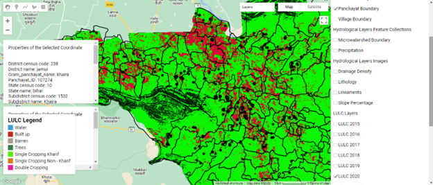
Do It Yourself LULC on satellite data: Global or even pan-India LULC datasets are often not able to capture local nuances of land-use. You can now build your own LULC for your area of interest – start with a small number of base classes, then split the classes by trying different models or upload your own groundtruth and train models using Tessera or AlphaEarth embeddings. Once you are happy you can publish the output along with STAC specs describing the class split and merge operation sequence. Check this demo to use the acacia/non-acacia labels obtained from the drone patches above, to train models to show the spread of invasive acacia over areas in Delhi.
Join the CoRE stack dev call on Fridays at 3pm to learn how you can build and deploy your pipelines, give feedback on the services and join us to improve them together. Details shared on our Googlegroup.